Westside is a district on the west side of Rousay, with a population of approximately 6.
Muckle Water is Rousay's largest loch, and is reached via an old peat track.
Peerie Water is a smaller loch than Muckle Water, but can be found along the same track.
Westness Walk is a mile-long rough coastal path, from which some of Rousay's most important archaeological sites can be seen.
The walk starts from the car park, on the main road, taking you down a steep hill, towards the shore.
As you descend, there are views across to the Mainland of Orkney, and the uninhabited island of Eynhallow
(view our information page on Eynhallow here).
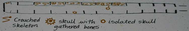
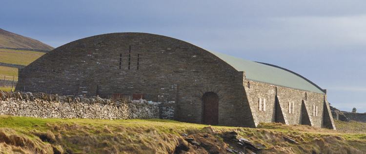
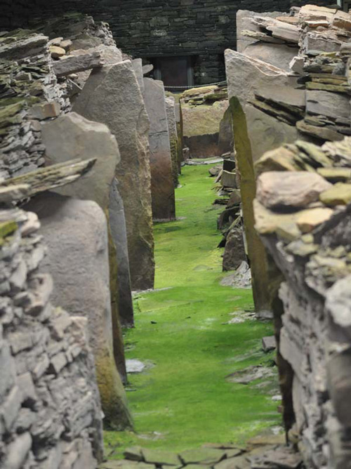
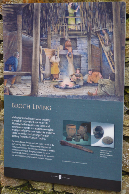
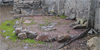
Midhowe Cairn is a tomb on the Westness Walk, known as the 'Great Ship of Death', and is close to
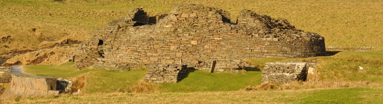
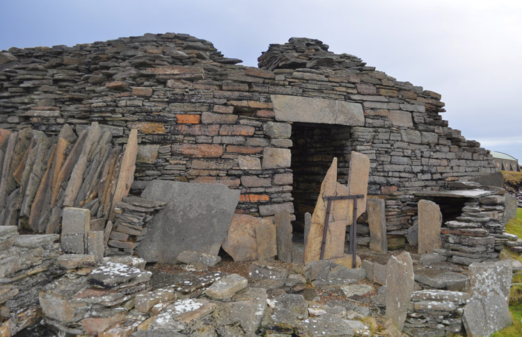
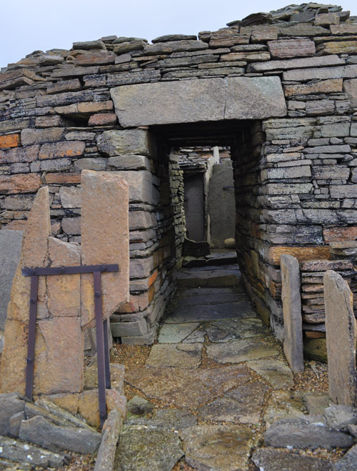
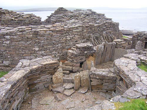
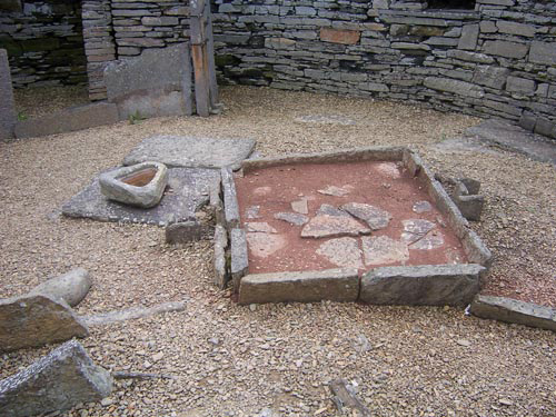
Midhowe Broch; one of Orkney's best-preserved brochs.


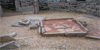

St Mary's Church, a roofless ruined church found along the Westness Walk.
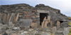
The Wirk, a square tower near to St. Mary's Church, which adjoins a large, rectangular building,
which is thought to have been a grand, two-storey ceremonial hall, dating back to the 1200s.
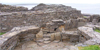
Skaill, a farm of which just the shells of the buildings are left, remaining derelict since the eviction of the inhabitants in the early 1800s.
|